Columbus-Area Cooldown, Ohio Flood Warnings
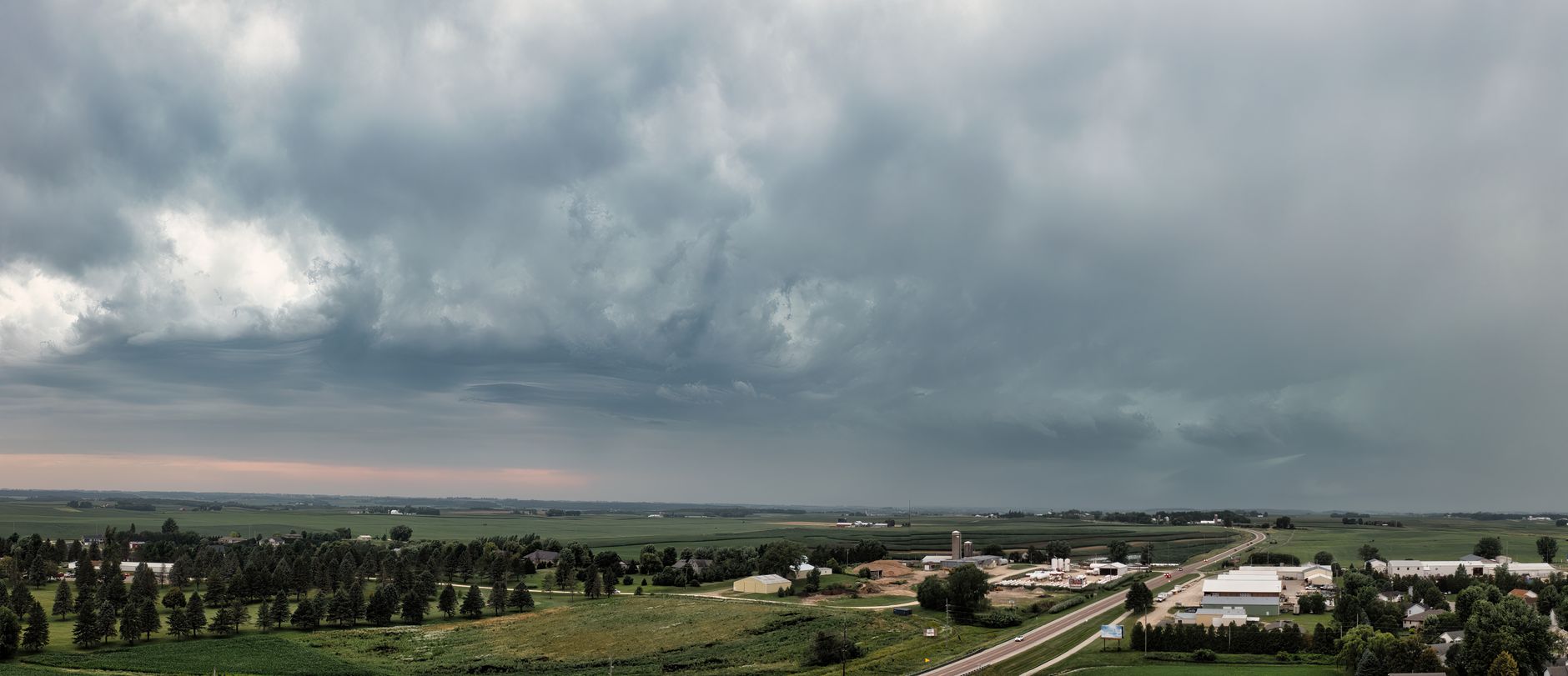
Columbus and surrounding areas are experiencing a cooldown with cooler nights and below-normal daytime highs, starting with 50s at night and upper 70s to start the week, then warming to the low- to mid-80s later. A flood warning remains in effect for parts of eastern Central Ohio after Tuesday’s storms, with some areas reporting 2–3 inches of rain. The broader region, including Bluefield and the Two Virginias, has seen unusually heavy rainfall this month, contributing to above-average totals for July and the year. Metro Detroit and the Great Lakes region are enjoying a brief early-fall feel with mid-70s today, followed by a warming trend toward the weekend. Officials warn to stay alert for rain debris and lingering flood impacts while storm surveys assess damage from recent storms. The period is expected to bring unsettled weather next week, with potential thunderstorms and a late-week cold front bringing more showers and cooler conditions.